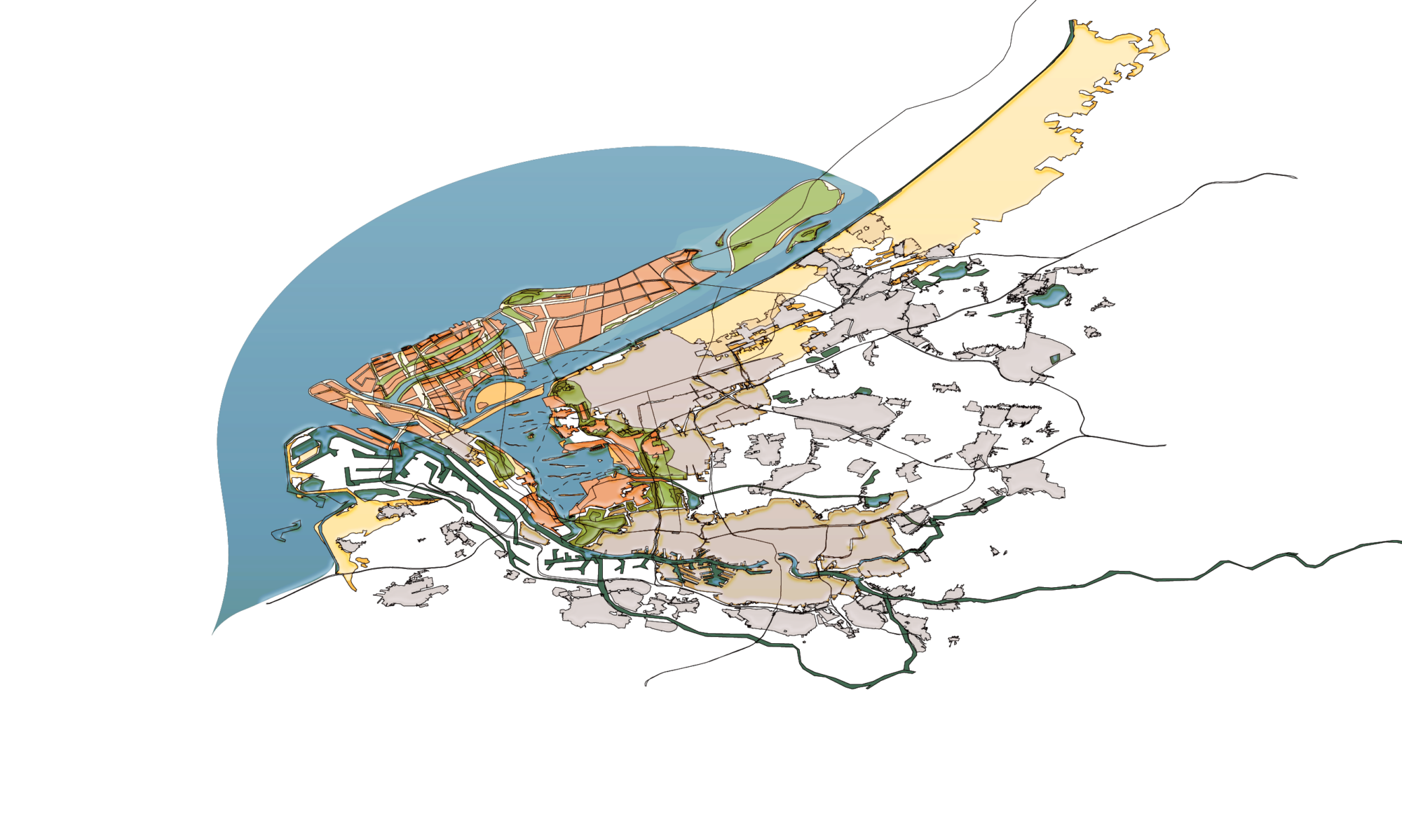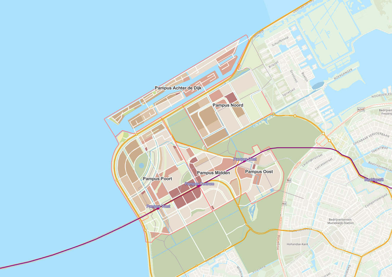
Urban planning and development concept Almere Pampus
A concept about the development of the Almere Pampus district. This concept advice includes roads, bus routes, and subdivision based on the existing landscape patterns and elements. The design also includes buildings outside the dikes - the reason for the realisation of development: the IJmeer connection. Basic amenities are also mapped.
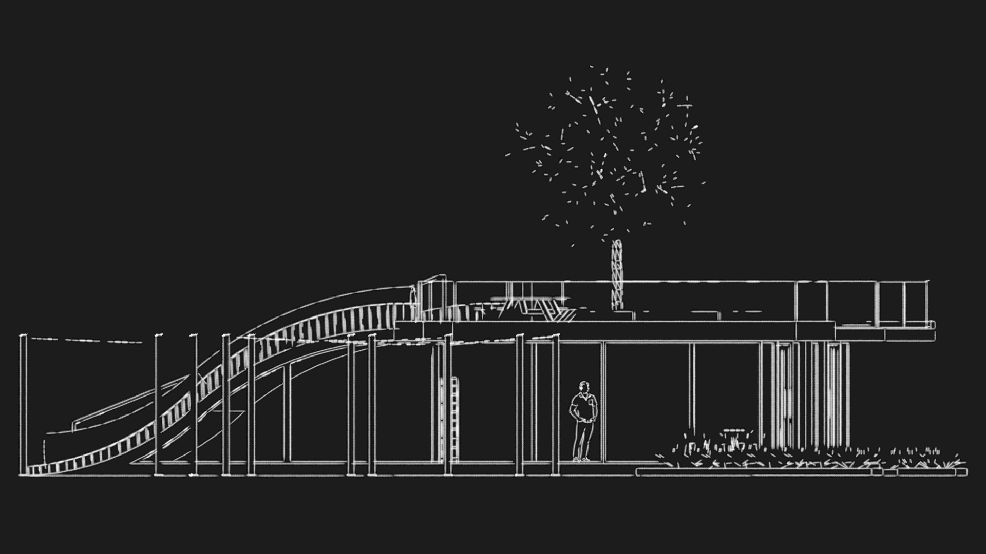
Garden Pavilion
A community center pavilion design for Carnisse Eiland square in Rotterdam, NL
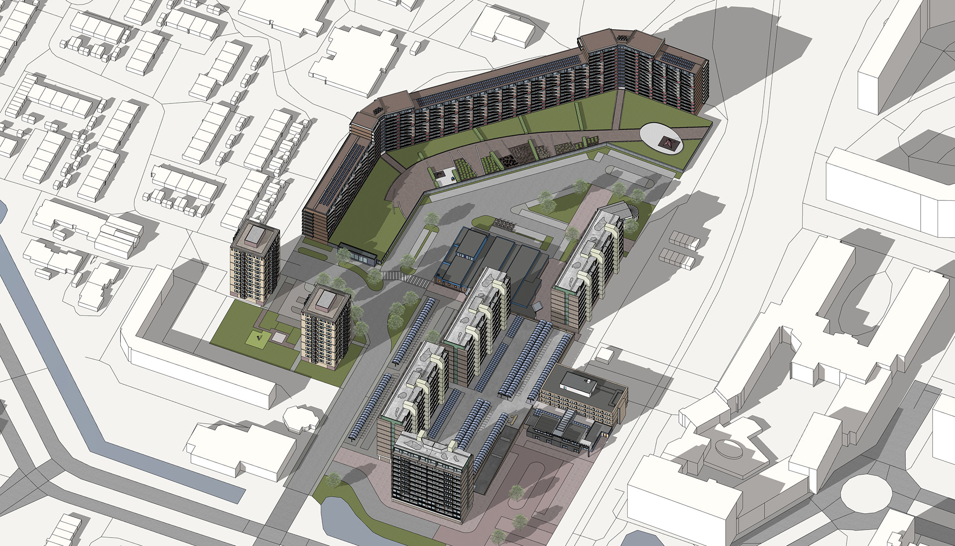
Environmental Identity of Meerzicht, Zoetermeer NL
Environmental vision of the center area of Meerzicht for a stimulating social environment through greening the neighborhood.
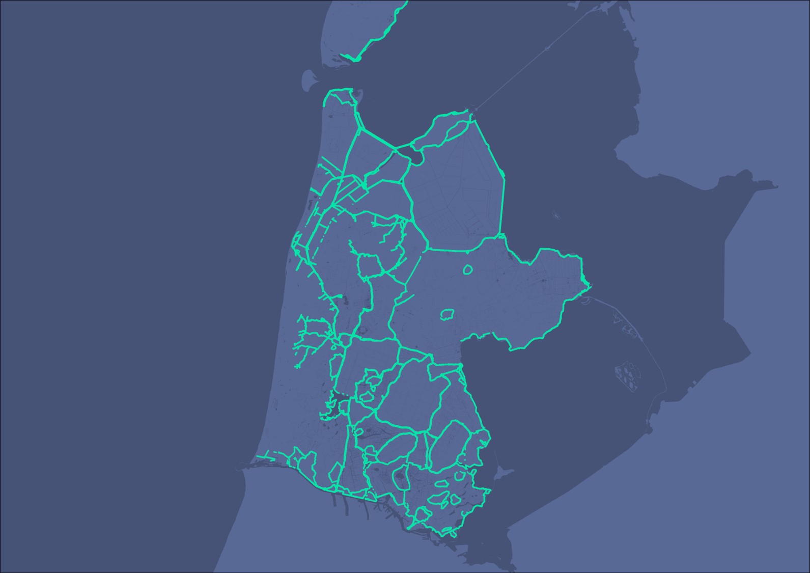
Dashboard project updating water barriers for BGT-Map (Basic Registration Large Scale Topography)
Commissioned by and in collaboration with the water board Hoogheemraadschap Hollands Noorderkwartier, I contributed to the latest updates of water barriers on the BGT-map, the Dutch Basic Registration Large Scale Topography).
Along with that, to monetize the progress, this dashboard was designed. Updates were done with dg DIALOG BGT. Dashboard is made with ArcGIS Online Dashboards
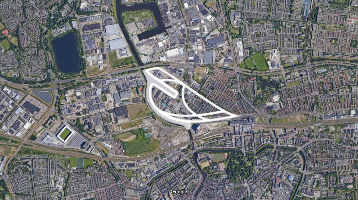
Coöperatie Haveneiland Belcrum
This is a spatial logo design for a housing associations called Coöperatie Haveneiland Belcrum, located in Breda, the Netherlands. The little bird is shaped after a drop of water, and geographically facing north is the whole of the part of the Belcrum district to be developed.
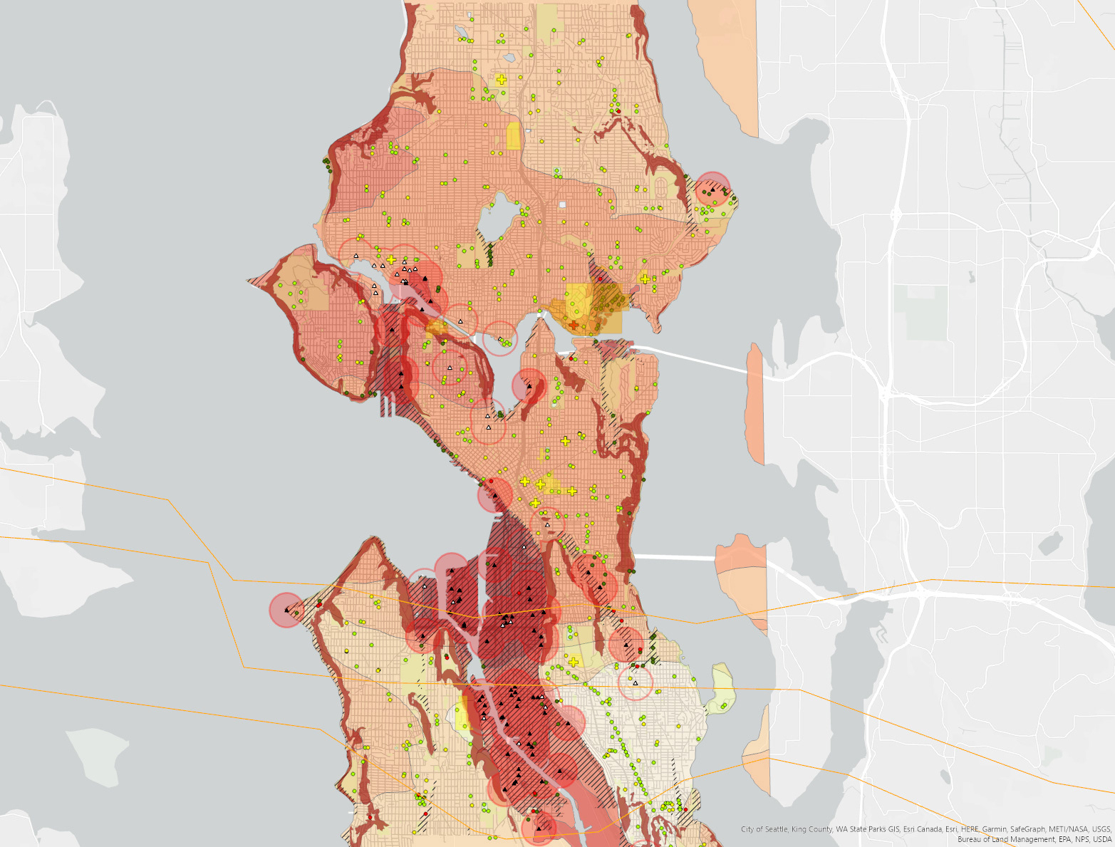
Case study natural hazards Seattle
A geographic analysis of earthquake and flood threats in the city of Seattle, WA. The last map is about safe zones, with a radius of 2x 416 meters, and regards areas located above 30m from the water level.
