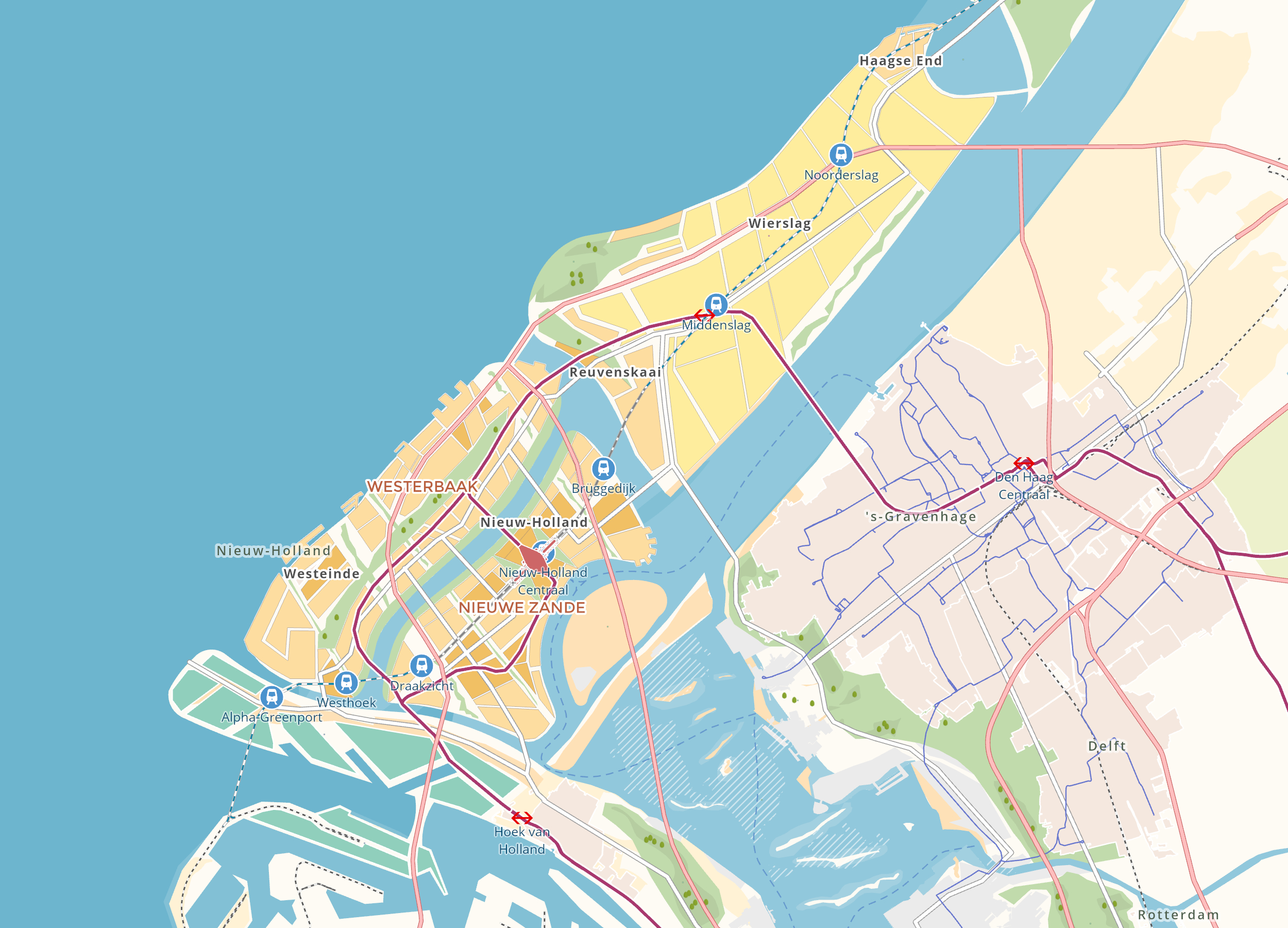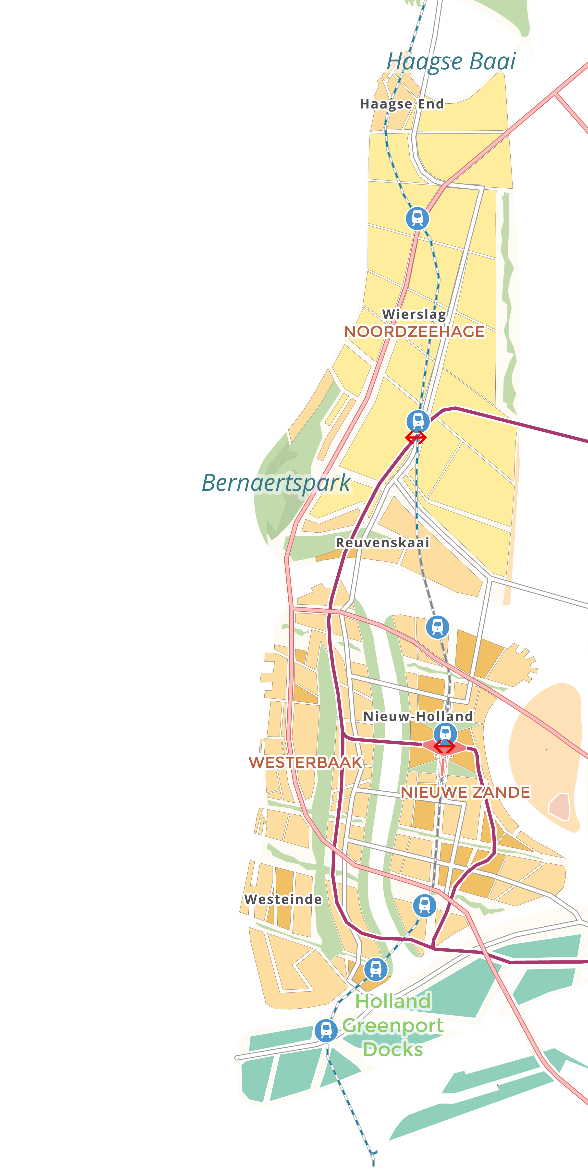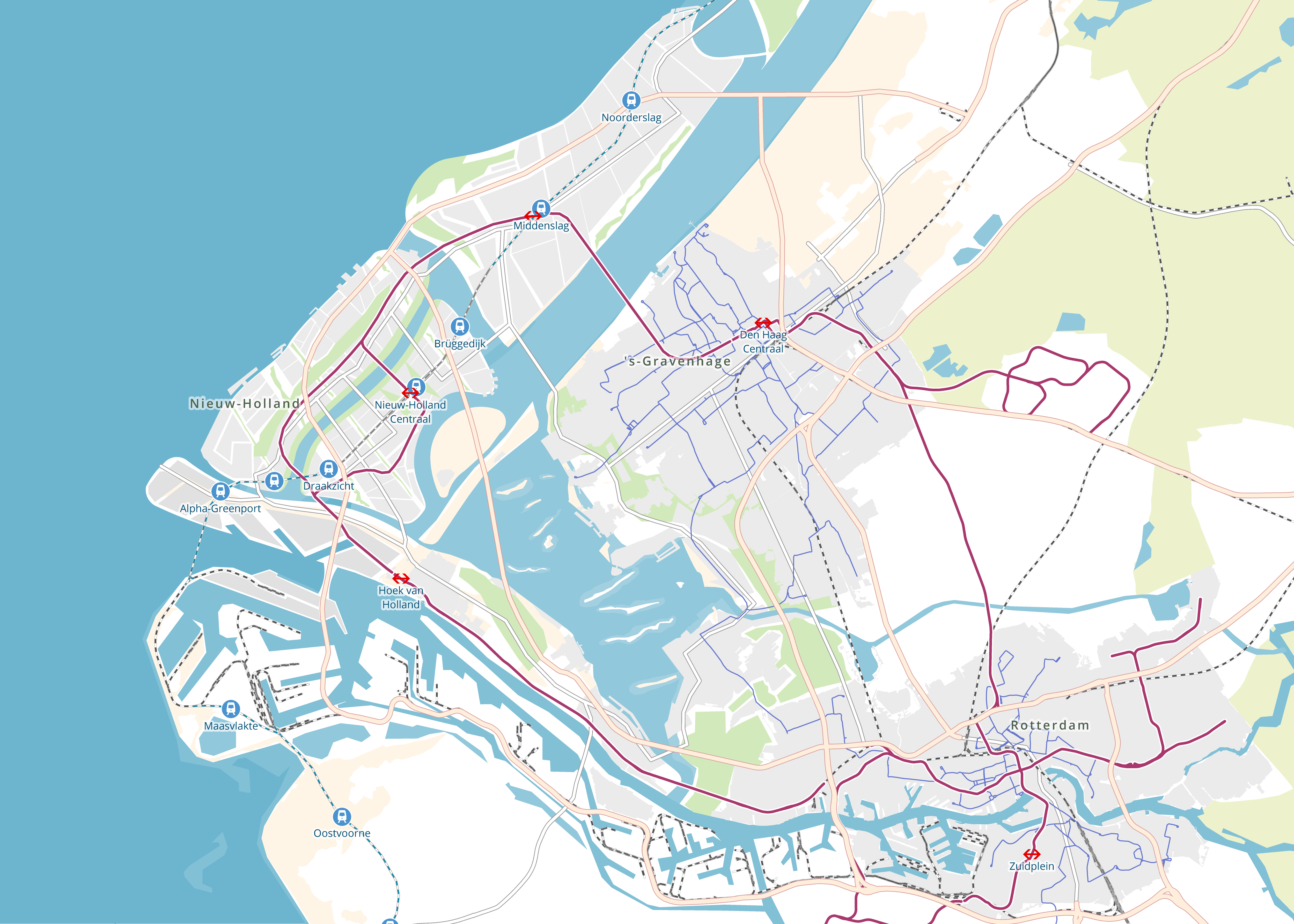


New Holland
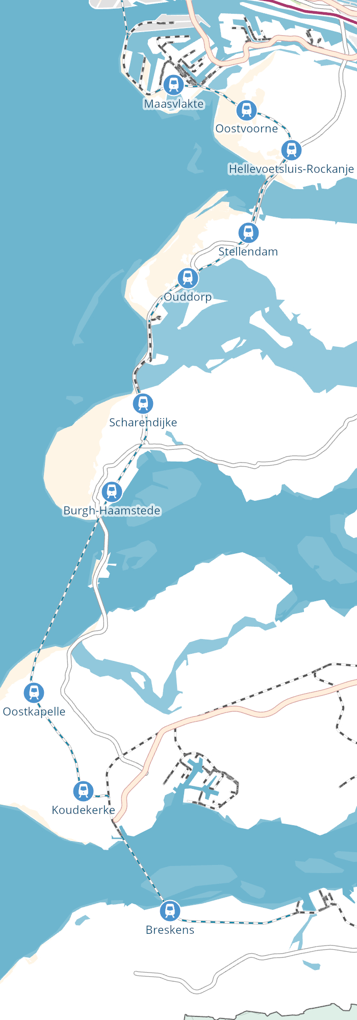
A protective and seaward plan for the west coast of the Netherlands.
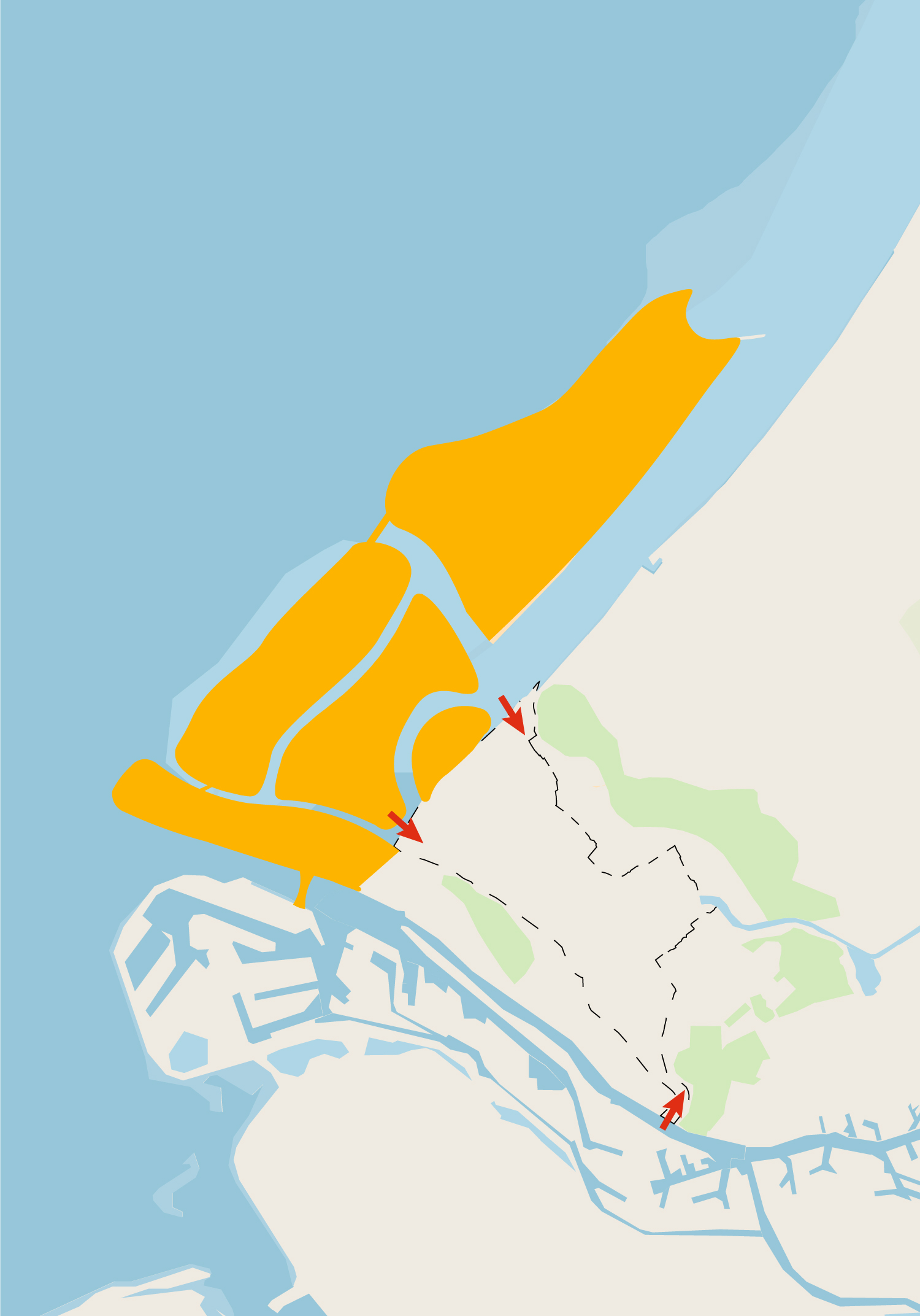
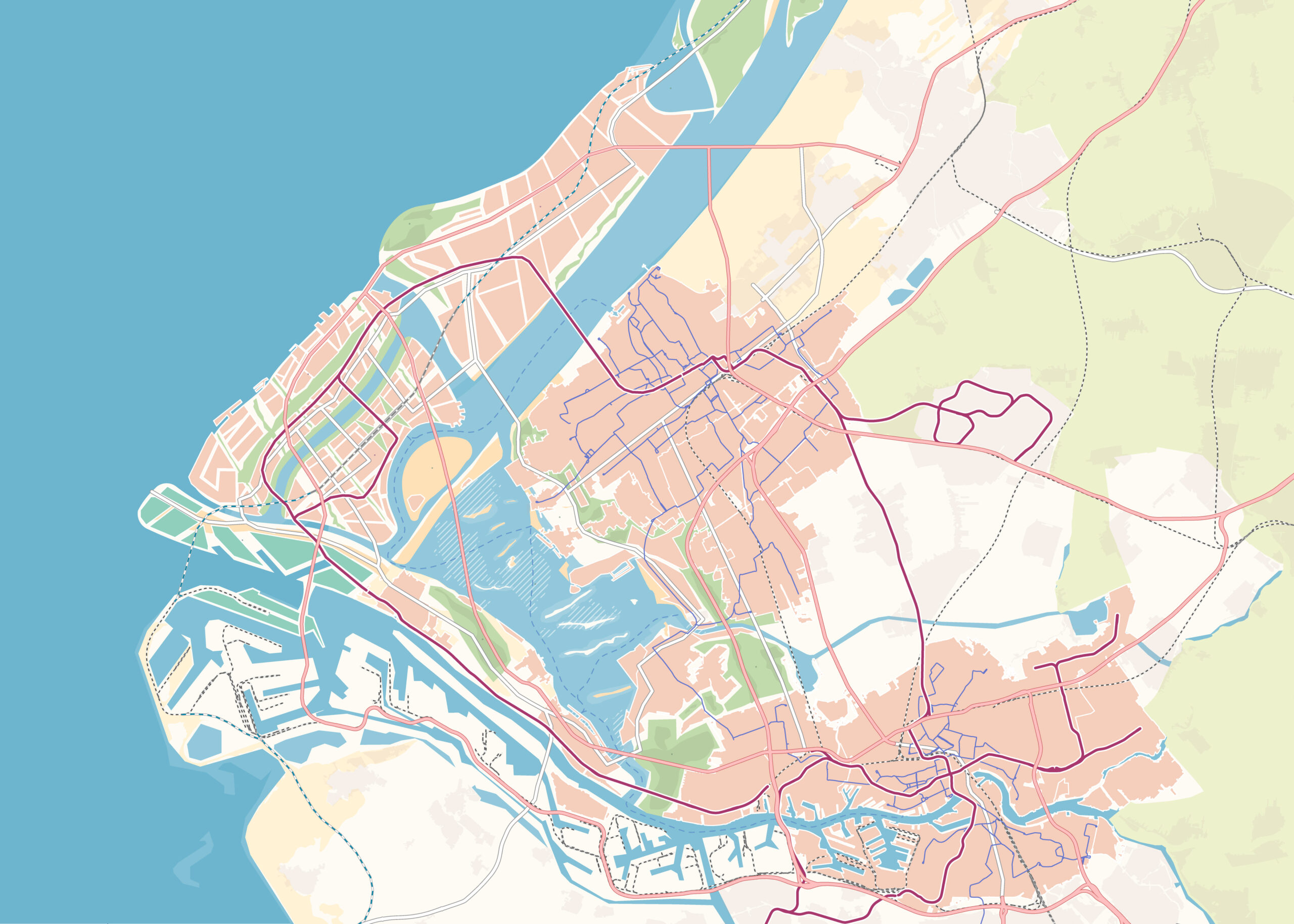
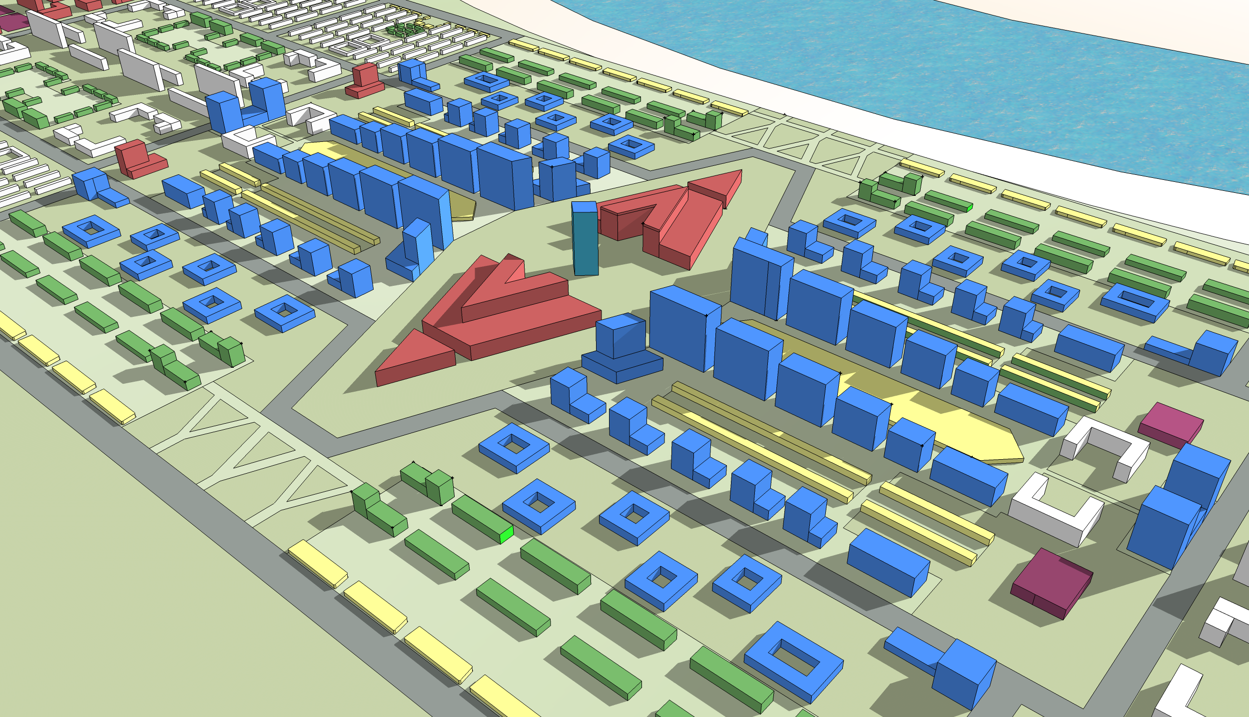
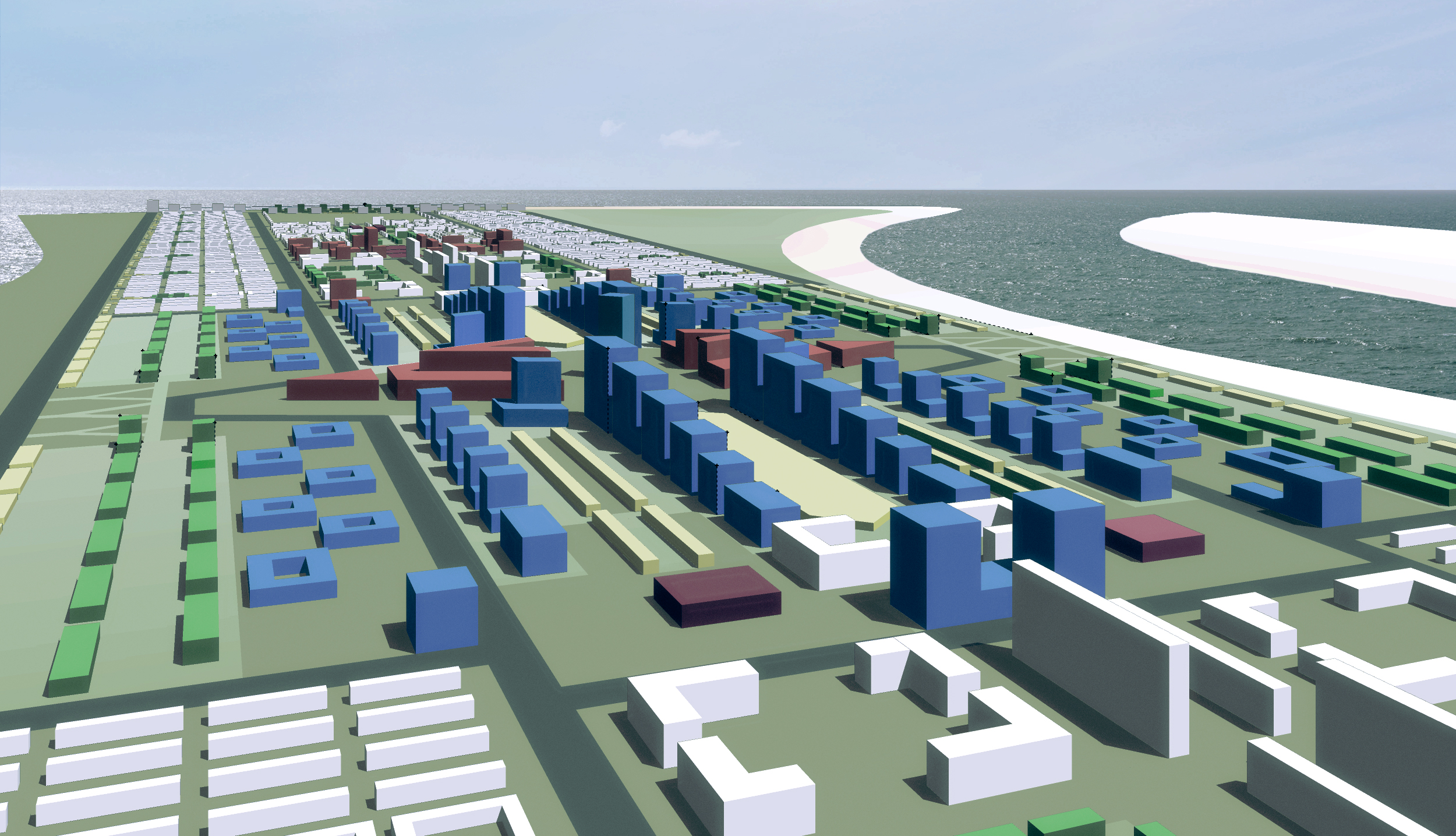
For the urban planning project, we were commissioned to work in a team on an integrated future vision for a coastal expansion on the South Holland coast. As the sea level continues to rise, measures must be taken now to protect the Netherlands. The question we were asked by the client in this regard is as follows: "How can this expansion add value to the growing MRDH (Rotterdam The Hague Metropolitan Region) and how can it work programmatically and spatially?"
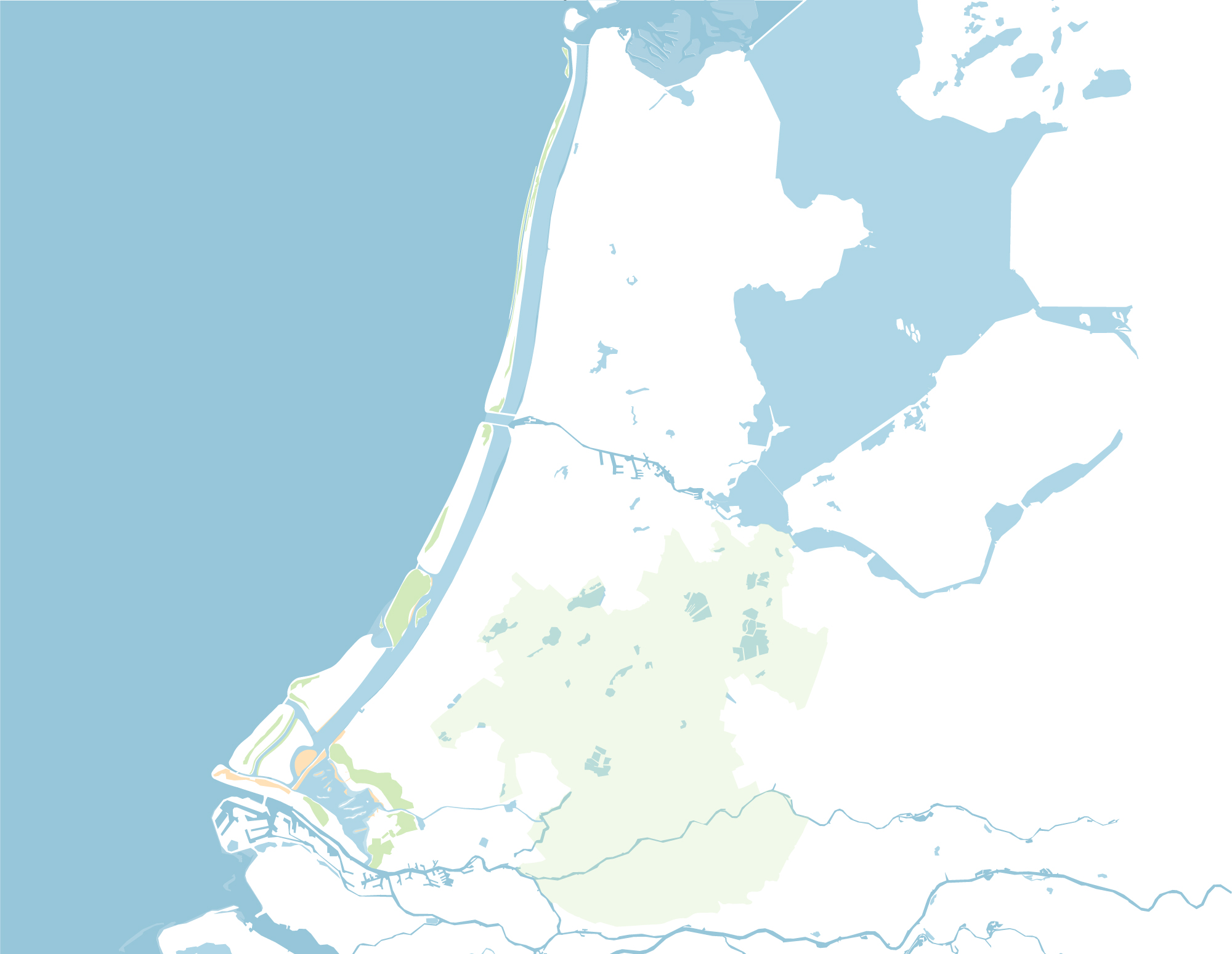
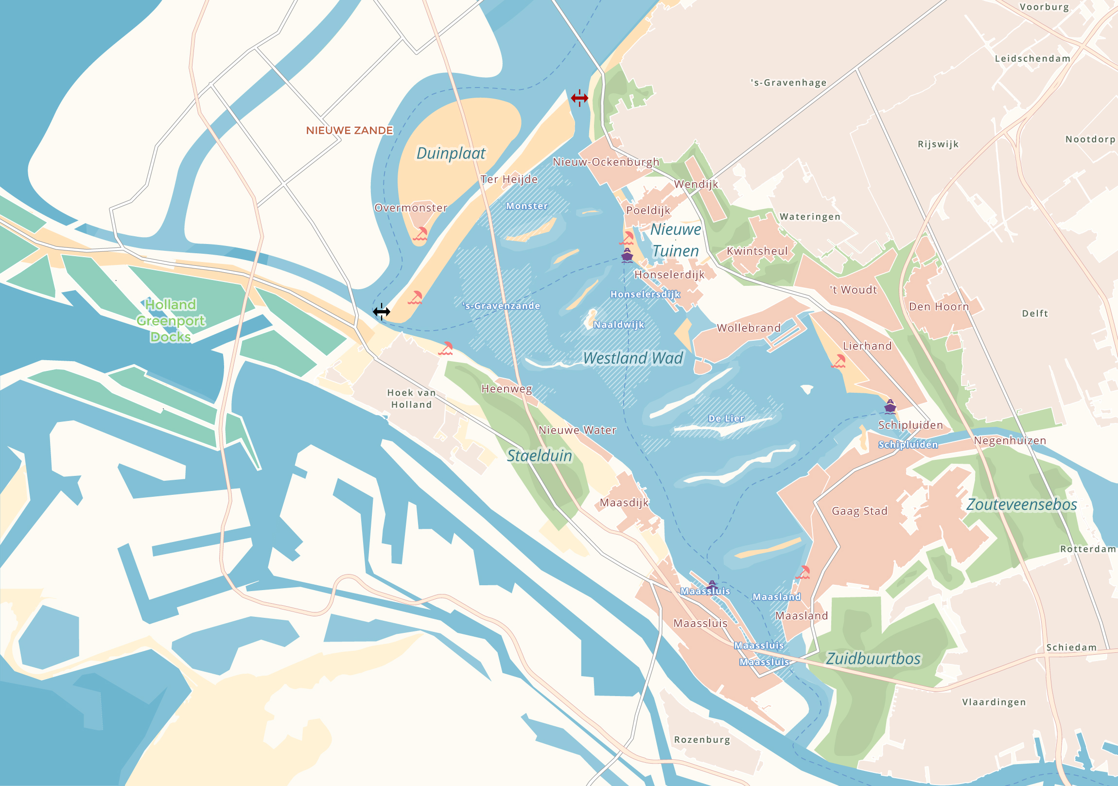
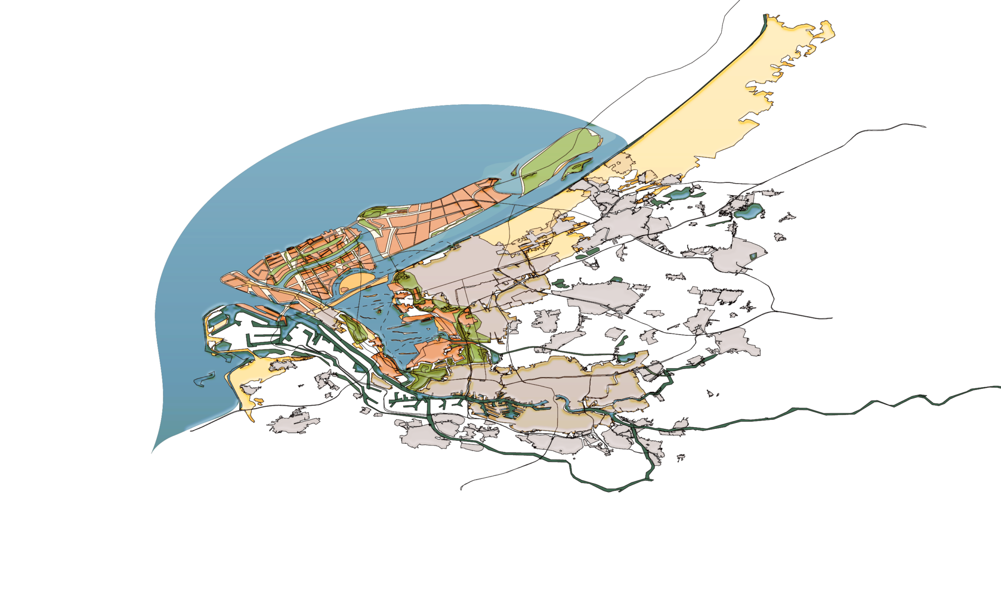
Why flood the Westland?
In addition to coastal expansion, research also advises giving the Westland back to nature. This was done because Westland is one of the lowest-lying areas in the Netherlands. In addition, the soil and water are polluted and the land is not being used efficiently. Flooding the Westland is an opportunity to restore nature in this area in a natural way. This is good for the climate, biodiversity and can be used as a water buffer and future freshwater source.